Master Map (Under Construction)
The Master Map file is large! Be patient while it loads.
After moving everything from Google Maps to CalTopo and then expanding the map I have realized that CalTopo won't work for me either. You cannot attach a link to a marker in CalTopo. That will be necessary for this site to be as good as it can. So I am looking in to other options like Leaflet.
To use this map while climbing, DOWNLOAD the CalTopo app on your phone and download the master map. If you want to be able to see the topography or satellite imagery while in the mountains you must download those layers ahead of time (because there is no service up there). If you don't have downloaded layers, the GPS locations of the climbs will still work. All of this is FREE.
Key
| Symbol | Meaning |
|---|---|
 | Seen on Map |
 | Boulder |
 | Ropes |
 | Parking |
 | The Gate |
| Orange Solid line | Trail |
| Orange Dotted line | Faint Trail/Use Trail |
Winston Peak
Most of the areas have their own maps (because the master map takes too long to load). Hopefully this will be solved when I move to Leaflet. Ideally I would only have one master map that I update and then for each area I can load the map to a specific GPS and zoom.
Southern California Sheet No. 1
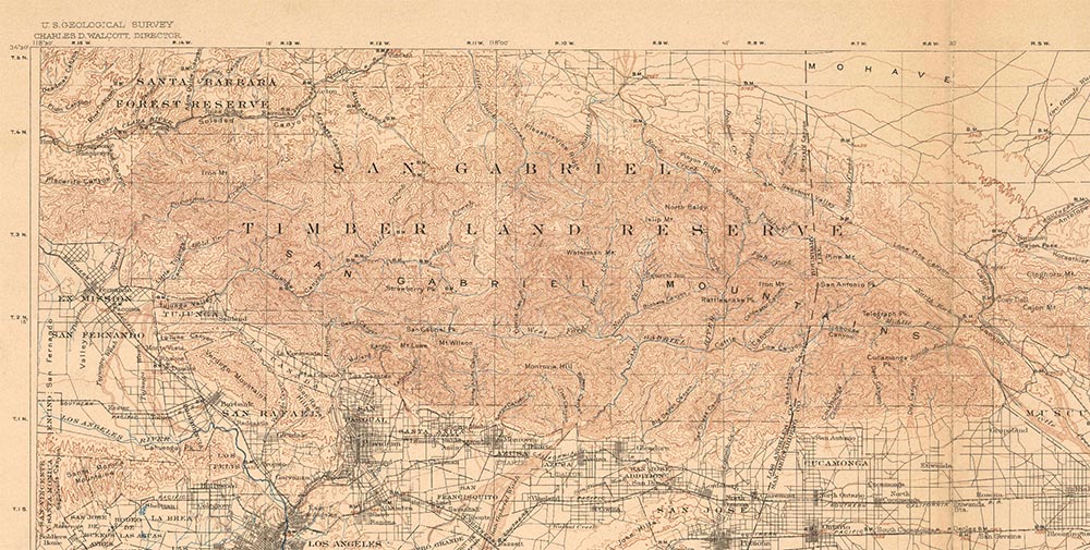
Southern California Sheet No. 1 1904 is free to download from the USGS store (so is the 1901 map). It's a big file (19 MB) and you can zoom in quite close!
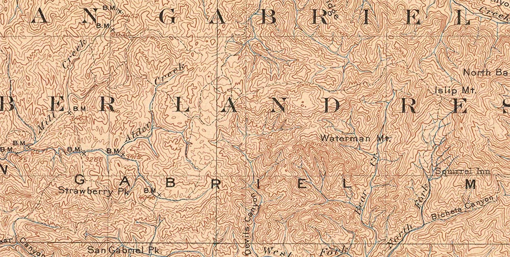
If you know the area well, you can see a lot in this map. Visible is the old path from Clear Creek to Red Box, Red Box to the Chilao/Horse Flats/Newcombs area, from there the trail heads east (right) and passes Winston, Waterman, Mt. Akawie/Buckhorn, towards Islip. The trails stop here, although Will Thrall wrote about a trail that went from Windy Gap/Islip north in to the Big Rock Creek and on towards the desert.
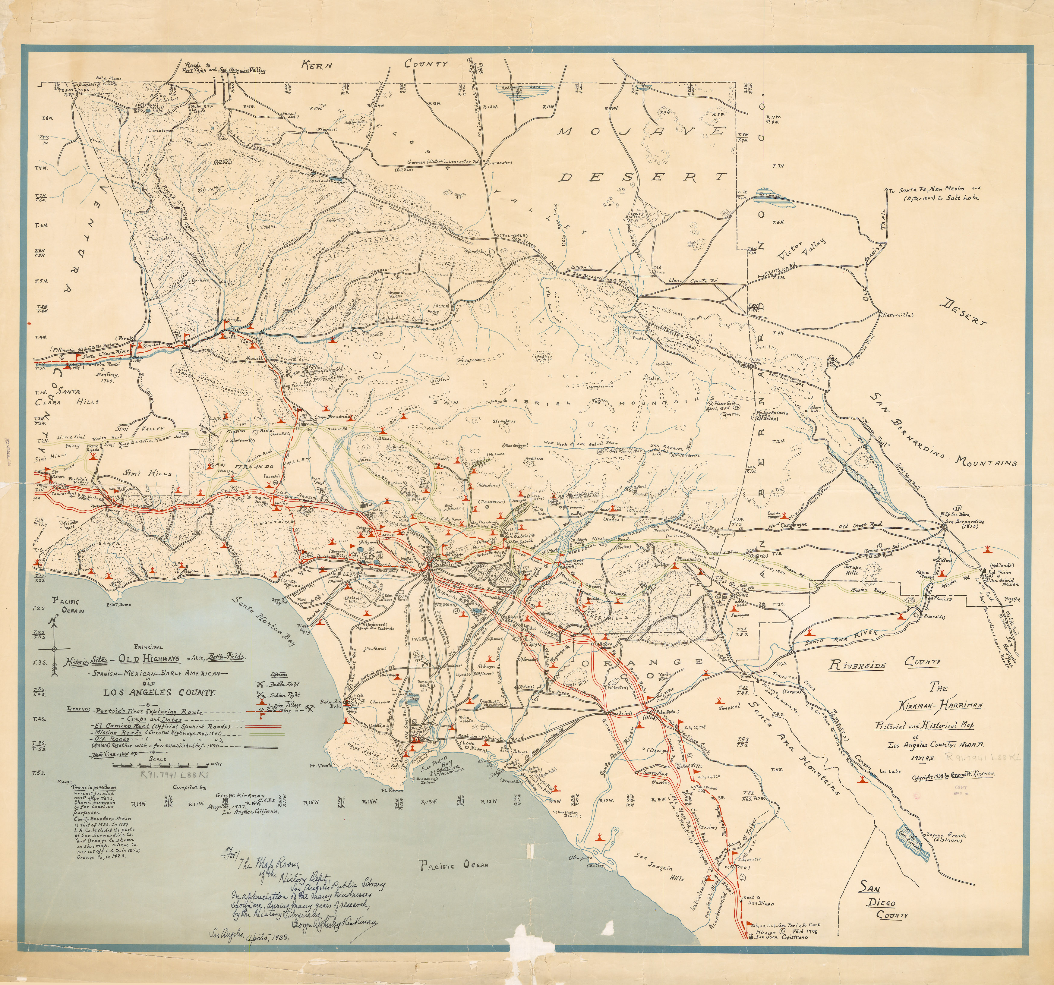
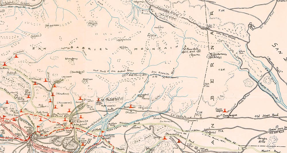
Pictorial and Historical map of Old LA County 1938 by George W. Kirkman